Events Calendar

To Monday 10 June 2024
Welcome to the 2024 virtual 4-hour rogaine “Up Hill and Down Dale”.
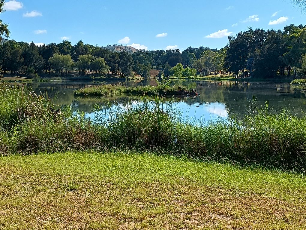
This year’s event area includes Mt Arawang, Mt Taylor, McQuoid’s Hill, Urambi Hills and the Tuggeranong valley suburbs of Kambah, Oxley and Greenway. The start location is at Kambah Woolshed off Springbett Street, near the junction with O’Halloran Circuit. This is shown as a triangle near the centre of the map and is located on the red gate so don't select the "go to the start" button on your app until you are ready otherwise the app may start. There is a toilet open during daylight hours in the Kambah Woolshed building near the start.


It’s a virtual event and it's FREE, which means that you can take part at any time between Saturday 25 May and Monday 10 June 2024, and the course uses the MapRun app on your phone or watch to record your visits to control sites; there are no control flags. The course will still be available on MapRun after the closing date, but you won’t be included in the official results.
You can compete individually or as a team. It's a big course and the central start location means you could do it 2 or even 3 times without visiting many of the same controls.
The map and course setters notes will be made available here on Thursday 23 May in the evening. Control descriptions are on the map. Maps printed on Teslin will also be available at the Paddy Pallin store in Lonsdale Street. We will put lots of maps there but no guarantees that they won't run out.
You will need the MapRun App on your smartphone or watch to record your visits to control sites; there are no controls flags. See the virtual events page for instructions and a link to download the app.
For a successful, safe and fair event:
Keep out of private property. In particular, the area marked in purple on the west side of the map is explicitly out of bounds, so plan your route accordingly.
Obviously residential land is also out of bounds – do not go across people’s gardens.
Cross roads with care. Use crossings, underpasses or traffic lights where possible, especially on Tuggeranong Parkway, Drakeford Drive, Athllon Drive and Sulwood Drive.
Apart from your phone or watch running the MapRun app, GPS instruments, altimeters and pedometers are not allowed. You may only use the map provided and your compass.
You must complete the course on foot. Bikes and other means of transport are not allowed.
There are patches of blackberries and lots of seed heads from St Johns Wort that may scratch your legs in the grasslands.
You’re responsible for your own safety. So plan as you would normally for a run or bushwalk. Make sure you carry enough water for your needs.
| Contact | Julie Quinn via Committee contacts page link above
|
| Coordinator | Julie Quinn |
| Setters and Vetters | Jon Glanville (setter), Julie Quinn (vetter), David Baldwin (vetter) |
| Map Maker | Jon Glanville |
| First Aid | Self-administered |
| Control Collection | Not required |
| General Help | Not required |
| Catering | BYO Toasties |