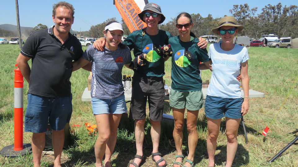
We were keen to come to The Edge rogaine because we knew the area was good, and we knew Ronnie and David would set an excellent course with a focus on being in the bush and make a good map. We were rewarded on all these fronts.
The map had what we thought were three distinct areas, south-east with the high points and - for the area - hills, the flatter north and the hilly west.
We initially planned a circular course but then asked ourselves where we wanted to be in the dark and thought it would be better to try to get through the flatter north area in daylight so replanned a course that roughly took us north-west then east through the flatter area before moving through the south-east and to the west. We left the hilly south-west to last as we thought that had the most options for scoring good points while adapting to the time left in the morning.
Our second control (73) gave us a quick lesson in paying more attention to exactly where we were and that we would need to pace count in country where it is a bit scrubbier with lower visibility. At least our circle work there only cost us a couple of minutes. The next insight to the course came between 100 and 76 where - after pushing through slow heathy country popped out onto the clear bed of Gulf Creek. Our highway! Not that all the creek bed highways were as fast as we would have liked. 90-63-70 was done via the creek bed but this time it involved lots of rock hopping which is also energy sapping. 70-95 was a tough leg which exemplified the course setters description of highly variable with a little bit of everything from open callitris to tight stemmy regrowth to heath etc.
We got to our first water drop (16) not long before dark so pushed on to 80 to ensure we got that in the light as the small knoll did not look like a strong feature to find from the west in the dark. Dark caught up with us just before 102.
We met a couple of pig hunters as we jogged along the track east of 13W and explained what we were doing - they headed back to the neighbouring property from which they had followed their dogs into the park.
Our worst control was the leg from 105 to 53. The creeks near 53 were not as obvious in the dark as they appeared on the map and we spent an extra 20 minutes locating the control - perhaps longer than we should have but we knew we must be near because there were lots of other teams here and Paul and Amanda reassured us we were close!
The controls set to highlight the waterfalls and creeks to the east of the Hash House were spectacular and interesting to visit. 91-49 was a great leg to get through the hills.
Once we got daylight and into the grassland and western hill area the rate of travel increased. We estimated the legs on that part of the course were twice as quick as through the thicker or heathier areas. It was also a relief for our scratched arms to not be pushing through twiggy bushes. We were still moving strongly and were determined to get to as many of the high point controls as we could, because we knew that teams who had collected all the points in the west would have a big advantage over us.
 In our final hour, coming back to the finish from 79 we debated how many of the controls we could get to. We knew 11-33-38-22 were easy but what else? We decided 47 was too far but we could try for an out and back to 34. We dropped our packs near 22 and ran hard for the out and back. On picking our packs up again that left us with about 7 minutes to get back to the Hash House which we almost achieved... what a way to finish!
The Edge was an excellent name for the event. The vegetation on the course is an amazing blend of eastern and western NSW. For example, cassinia and teatree that we know from the ACT and coast and spinifex, callitris and flowering calytrix from much further west. Highlights were all the spring flowers, sun and bearded orchids, the variety of birds including the red-tailed black cockatoos.